Since autumn 2024, the Vidzeme Planning Region, in cooperation with the Tartu Science Park, has been implementing the cross-border project “Smart Skies – Joint Development of Drone-Based Municipal Services.” Within the project, Valmiera Municipality has been selected as the Latvian pilot territory for exploring the use of drone technologies in infrastructure inspections and territorial management.
The solutions being tested aim to evaluate the effectiveness of drone technologies and assess how they can improve access to hard-to-reach locations, reduce the time and resources required for inspections, and provide detailed, high-quality real-time data to support municipal operations.
The project has now reached an important milestone with the development and approval of a joint Strategy and Action Plan, outlining the future directions for the use of drone technologies in the delivery of public services. The strategy aims to promote the safe, efficient, and data-driven use of unmanned aerial vehicles (UAVs) in municipal operations, building on practical testing and experience gained throughout the project.
In September 2025, the procurement procedure “Testing the Application of Unmanned Aerial Vehicles and Acquisition of Spatial Data for the Needs of Valmiera Municipality” was completed, leading to the start of cooperation with SIA Ģeodēzists. Preparatory activities for the drone operations began in autumn 2025.
During the preparation phase, a comprehensive flight and data-processing plan was developed, accompanied by a risk assessment, risk mitigation measures, and an emergency response plan. These activities ensure that drone operations are conducted safely, responsibly, and in compliance with regulatory requirements while also taking public safety and data protection considerations into account.
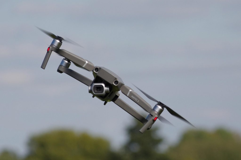
Drone test flights are currently being carried out across Valmiera Municipality. Their objective is to collect various types of spatial data through the inspection of more than 30 infrastructure sites. Activities include assessing the technical condition of buildings and structures, creating detailed 3D models, and producing orthophoto maps.
The primary goal of the pilot activities is to understand how unmanned aerial vehicles can improve the efficiency of municipal operations and support better-informed decision-making. The data collected will enable more accurate analysis of territorial development, infrastructure conditions, and environmental factors while reducing the time and resources required compared to traditional inspection methods.
In the long term, the use of drone technologies could provide significant benefits for both the municipality and its residents. These include more accurate and timely information for territorial planning, more effective monitoring of infrastructure and construction projects, and the development of data-driven, transparent, and sustainable public services.
The drone pilot activities in Valmiera represent an important step towards innovative and modern municipal governance. At the same time, they strengthen cross-border cooperation within the Smart Skies project and lay the foundation for the wider adoption of drone technologies in municipal service delivery in the future.
The project “Joint development of drone-based municipal services” (Smart Skies (EE-LV00141)) is implemented with the financial support of the EU Interreg Estonia-Latvia program for 2021–2027.
This message reflects the author’s opinion. The program’s managing authority is not responsible for the possible use of the information contained therein.